I'll add one more which is always reliable in catastrophic event responses...................
Samaritan's Purse Is Mounting a Response on Two Fronts in the Wake of Dorian's Assault
Samaritan's Purse has packed our DC-8 plane full of emergency items to send to the Bahamas as soon as feasible.
The people there are suffering after the islands were hit by deadly Hurricane Dorian, a Category 5 storm packing sustained winds of 185 mph with gusts up to 225 mph.
“Please join me in praying for everyone affected by this hurricane, and for our teams as we respond in Jesus' Name.”
—Franklin Graham
Emergency supplies will include temporary shelter material, household water filters, and two community filtration units that turn saltwater into drinking water.
“Samaritan's Purse has been watching and preparing to respond to Hurricane Dorian. We are loading our DC-8 with supplies that we plan to take down as soon as the storm clears, and it's safe to land,” said Franklin Graham, president of Samaritan's Purse. “Families in the Bahamas are suffering and millions of others are bracing for Dorian's impact as the storm continues to move. Please join me in praying for everyone affected by this hurricane, and for our teams as we respond in Jesus' Name.”
Hurricane Dorian made multiple landfalls across the Bahamas on Sept. 1, damaging or destroying thousands of homes. At its full strength, it was the strongest storm the planet has seen so far this year.
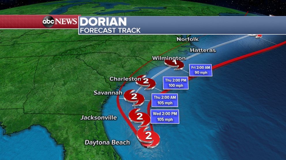
The hurricane is now slowly headed toward the United States mainland, with maximum sustained winds of 110 mph, a Category 2 storm.
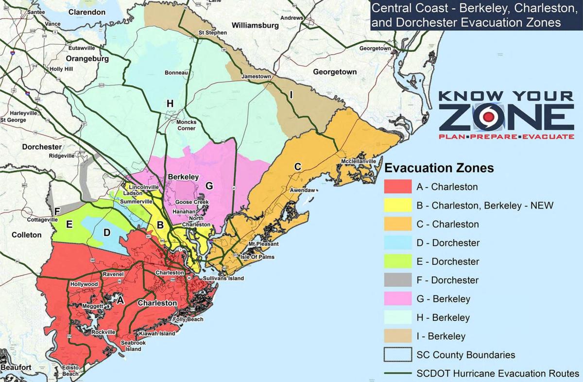
People in Florida, Georgia, and the Carolinas are likely to be affected by this dangerous hurricane over the next several days as it skirts along the coast bringing heavy rains, strong winds, and menacing storm surge.
Samaritan's Purse is poised to send staff and disaster relief units to communities in need in each state.
Once given access to damaged areas, our volunteer teams will assist with clearing debris and downed trees, tarping roofs, and cleaning out flooded homes. In addition to disaster relief units (stocked tractor trailers), supply trailers and heavy equipment are also on standby.
You can also make a donation by mail. Send to: Samaritan’s Purse, PO Box 3000, Boone, NC 28607
https://www.samaritanspurse.org/