

You are using an out of date browser. It may not display this or other websites correctly.
You should upgrade or use an alternative browser.
You should upgrade or use an alternative browser.
Would America Be Better Off with More Religion?
- Thread starter ThatOwlWoman
- Start date


Jerry Mathers
Was it me?
what about white jewish nationalism called israel?white christian nationalism doesn't deserve to be capitalized.
Jerry Mathers
Was it me?
whites built the nation zionists want to control most.
they're jealous and dangerous racists.
There is no such thing as a 'geophysicist' in science!
Chevron Corporation
Careers & Job Openings
"Earth science is the foundation of our industry. Your expertise as a geologist or geophysicist is essential to unlocking the earth's vital stores of energy."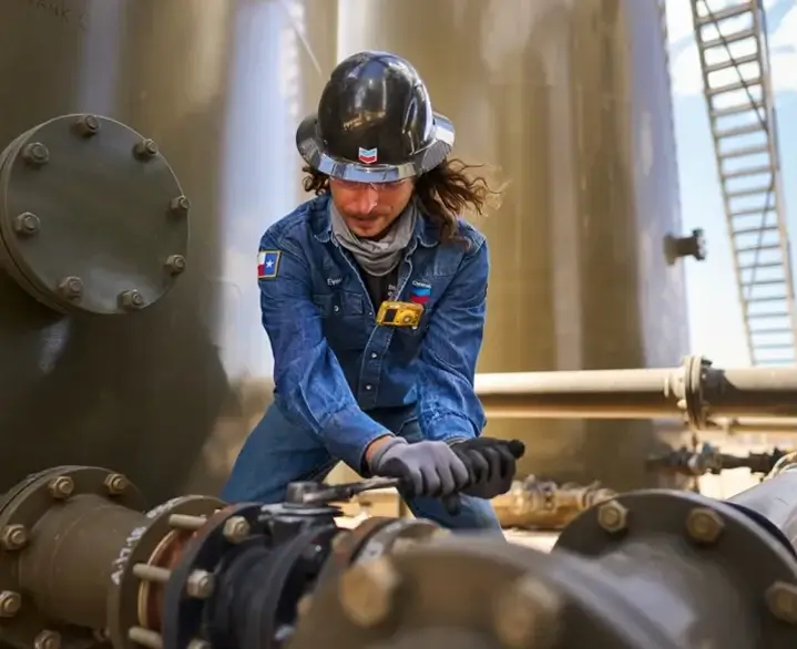
professionals
Team members of all experience levels tackle global, real-world problems facing our business, our communities, and the future of humanity as we know it.
 careers.chevron.com
Not all whites are racistwhites built the nation zionists want to control most.
they're jealous and dangerous racists.
Someone who follows the ways of the prophet Zarathustra and believes in the supreme god and creator Ahuramazda.Define Zoroastrian!

Into the Night
Contributor
Illiteracy: proper nouns are always capitalized.white christian nationalism doesn't deserve to be capitalized.
There is no such thing as 'white Christian nationalism'.
Into the Night
Contributor
Slander. Lie. Synthesis.
Into the Night
Contributor
Buzzword fallacy.
Into the Night
Contributor
??what about white jewish nationalism called israel?

Into the Night
Contributor
??whites built the nation zionists want to control most.
they're jealous and dangerous racists.
Into the Night
Contributor
There is no such thing as a 'geophysicist'.Chevron Corporation
Careers & Job Openings
"Earth science is the foundation of our industry. Your expertise as a geologist or geophysicist is essential to unlocking the earth's vital stores of energy."
professionals
Team members of all experience levels tackle global, real-world problems facing our business, our communities, and the future of humanity as we know it.
Buzzword fallacy.
There is no such thing as a 'geophysicist'!
U.S. Geological Survey
"A geophysicist is someone who studies the Earth using gravity, magnetic, electrical, and seismic methods."https://www.usgs.gov/programs/earthquake-hazards/become-earthquake-scientist

IBDaMann
Probably the worse human in the threads
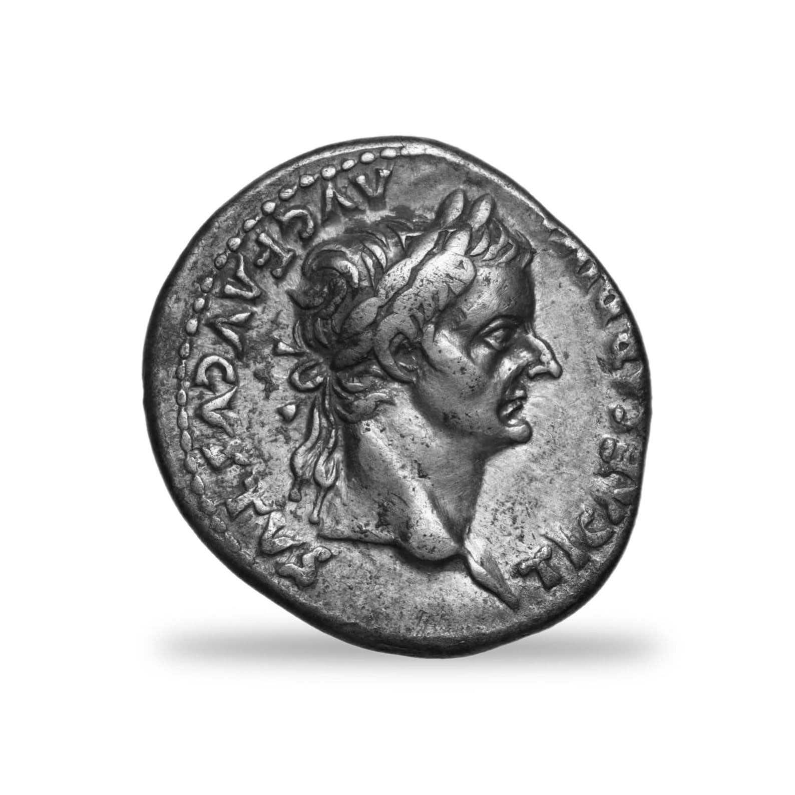
The Diamond Rule, as stated by Jesus in Matthew 22:21 is: "Render therefore unto Caesar the things which are Caesar’s; and unto God the things that are God’s", for this sums up the Law and the Prophets.The Golden Rule, as stated by Jesus in Matthew 7:12, is: "So in everything, do to others what you would have them do to you, for this sums up the Law and the Prophets." This verse encapsulates the essence of Jesus' teachings on how to treat others, emphasizing love and respect.
Last edited:
IBDaMann
Probably the worse human in the threads
So one does not need to be a physicist to be a geophysicist; one merely needs to study the earth using gravity.U.S. Geological Survey: "A geophysicist is someone who studies the Earth using gravity, magnetic, electrical, and seismic methods."
Ladies and gentlemen, I present to you an official geophysicist:
ftfyLadies and gentlemen, I present to you an official geophysicist:
Geophysicists use a variety of remote sensing, physical measurement and data to map the Earth's subsurface and study its physical properties. The primary types of data used include:
Seismic Data: Acoustic data generated and recorded to image subsurface geological structures, faults, and layers. This includes reflection and refraction data, as well as borehole seismic.
Potential Fields: High-resolution measurements of the Earth's gravity and magnetic fields, which help identify different rock types, ancient faults, and large-scale crustal structures.
Electromagnetic (EM) & Resistivity Data: Measurements of the Earth's electrical conductivity used to map soil properties, find groundwatet, and detect metallic ores.
Ground Penetrating Radar (GPR): High-frequency radio waves used to create shallow, high-resolution images of the subsurface, often for environmental monitoring or locating buried utilities.
Borehole Geophysical Logs: Continuous, in-situ measurements taken directly down a drilled well (using tools like sonic, nuclear, and electrical probes) to evaluate rock and fluid properties.

more or less correct
IBDaMann
Probably the worse human in the threads
@Into the Night , since the Big Bang never happened, is it safe to say that Satan never entered YHWH's space at Satan's rebellion?The Big Bang was the reaction to Satan entering YHWH's space at Satan's rebellion!
IBDaMann
Probably the worse human in the threads
I agree. Capitalization should be reserved for things that exist.white christian nationalism doesn't deserve to be capitalized.
IBDaMann
Probably the worse human in the threads
Ladies and gentlemen, I present to you an official geophysicist:
Geophysicists use a variety of remote sensing, physical measurement and data to map the Earth's subsurface and study its physical properties. The primary types of data used include:
Seismic Data: Acoustic data generated and recorded to image subsurface geological structures, faults, and layers. This includes reflection and refraction data, as well as borehole seismic.
Potential Fields: High-resolution measurements of the Earth's gravity and magnetic fields, which help identify different rock types, ancient faults, and large-scale crustal structures.
Electromagnetic (EM) & Resistivity Data: Measurements of the Earth's electrical conductivity used to map soil properties, find groundwatet, and detect metallic ores.
Ground Penetrating Radar (GPR): High-frequency radio waves used to create shallow, high-resolution images of the subsurface, often for environmental monitoring or locating buried utilities.
Borehole Geophysical Logs: Continuous, in-situ measurements taken directly down a drilled well (using tools like sonic, nuclear, and electrical probes) to evaluate rock and fluid properties.
Too funny. None of the above is science. Cypress still doesn't know what science is.